
⌕
Understand data faster
Profile layers, enrich metadata and let users explore datasets through maps, filters and natural-language questions.

Sprouti is building a cloud platform where teams can discover spatial data, ask questions in natural language, construct reproducible workflows, run Python, and publish interactive outputs from a secure workspace that can be deployed in the cloud, a private network or the customer’s own environment.
Sprouti connects Earth observation, local spatial data and AI-assisted analysis in one coherent workspace.

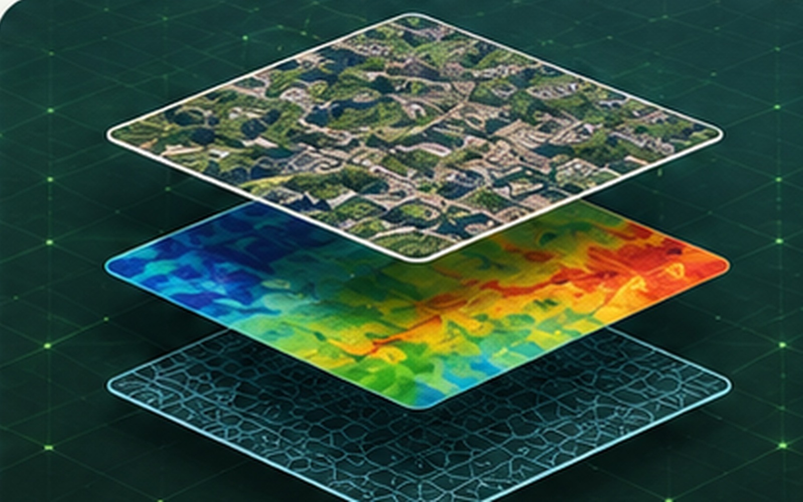
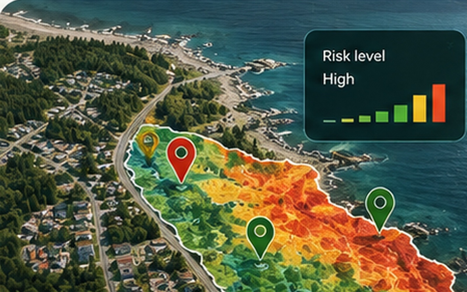
Geospatial teams often move between desktop GIS, notebooks, databases, cloud services and custom applications. Sprouti is designed to connect those stages without removing expert control.
Profile layers, enrich metadata and let users explore datasets through maps, filters and natural-language questions.
Combine approved tools, SQL, geoprocessing and custom Python into inspectable workflows that can be reused and shared.
Turn results into maps, dashboards, APIs and applications without rebuilding the infrastructure for every project.
Select a stage to preview Sprouti’s intended user journey.
Register files, APIs and spatial databases. Sprouti profiles schema, geometry, CRS, fields and analytical capabilities so people and AI tools can use the data safely.
Users describe an outcome. The assistant identifies suitable layers, proposes filters and tools, and produces a workflow for approval before execution.
Execute approved workflows using database operations, platform tools or custom Python, with resource tracking, logs and reproducible outputs.
Sprouti is being designed for organisations that cannot send sensitive geospatial information to uncontrolled public AI services.
Run Sprouti in a managed cloud environment, private cloud, on-premises infrastructure or a restricted local network. Local deployments can keep data and model processing inside the organisation’s security boundary.
Customer datasets, prompts, workflows and outputs will not be used to train shared Sprouti models or sold to third parties. Model providers can be selected to support private or zero-retention processing.
Role-based access, project isolation, encrypted connections, approval-led execution, audit logs, resource controls and configurable retention support governed GeoAI workflows.
Engage now to help validate priority workflows, contribute expertise, support development or explore future investment.